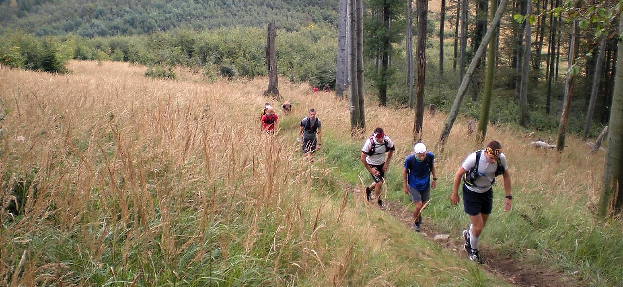
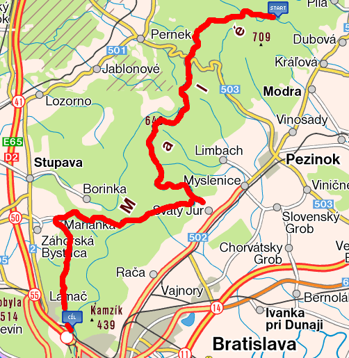
COURSE
Curse parameters (distance / cumulative elevation gain)
- 50 km / +1500 m
Highest point
- Čmeľok, 709 m n.m.
Course
Zochova chata => Čermák => Skalnatá => sedlo Javorina => Čmeľok => Pezinská Baba => Konské hlavy => Tri kamenné kopce => Somár => Kozí chrbát => Salaš => Svätý Jur-Neštich => Hrad Biely Kameň => Biely kríž => Bystrické => Svätý vrch => Klčovanice => Marianka => Sekyl => Kačín => Klanec => Červený most => Cieľ
Course map (Cykloserver)
GPX file
- GPX file (source: Cykloserver) can be downloaded HERE.
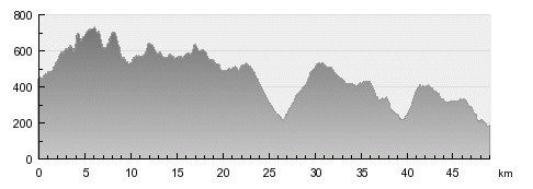
Course profile
Checkpoints
- Unmanned checkpoint (password at the summit)
- Live checkpoint and aid station
- 10 km from start
- Unmanned checkpoint (password at tourist signpost)
- Live checkpoint and aid station - U malokarpatského pytliaka (pub/restaurant)
- 27 km from start
- Live checkpoint and aid station - Koliba U Johana (pub)
- 40 km from start
- Unmanned checkpoint (password at tourist signpost)
Finish
- The finish place is located in Bratislava, bufet in the Military hospital premises. The entrance to the finish place will be clearly marked with wthe finish banner.